EarthEnv
Global, remote-sensing supported environmental layers for assessing status and trends in biodiversity, ecosystems, and climate
EarthEnv-DEM90 digital elevation model
Dataset
The data distributed here are in EHdr format, unprojected and referenced to the WGS84 geodetic datum. They are derived from CGIAR-CSI SRTM v4.1 and ASTER GDEM v2 data products. These data have been processed and merged to provide continuous coverage of ~91% of the globe. Processing and merging methodology are available in Robinson et al. (2014).
Distribution
EarthEnv Digital Elevation Model Version 1 by Natalie Robinson and the NCEAS Environment and Organisms (ENO) Working Group is licensed under a Creative Commons Attribution 4.0 International License.
Permissions beyond the scope of this license may be available at http://www.earthenv.org/DEM.html.

No warranty or liability
EarthEnv-DEM90 is provided without any warranty of any kind whatsoever, either express or implied, including warranties of merchantability and fitness for a particular purpose. The creators of the product shall not be liable for incidental, consequential, or special damages arising out of the use of any data.
Acknowledgement and citation
Users should cite Robinson et al. (2014) in the creation of any reports, publications, new data sets, derived products, or services resulting from the use of this data set, and if possible link web pages to the EarthEnv-DEM90 website (http://www.earthenv.org/DEM.html). Please refer to acknowledgements in Robinson et al. (2014) for funding and logistic support for EarthEnv-DEM90.
Reference
Robinson, N., Regetz, J., and Guralnick, R. P. (2014). EarthEnv-DEM90: A nearly-global, void-free, multi-scale smoothed, 90m digital elevation model from fused ASTER and SRTM data. ISPRS Journal of Photogrammetry and Remote Sensing, 87:2014, 57-67. Available at http://www.sciencedirect.com/science/article/pii/S0924271613002360.
Get Data by Coordinates
Internet Explorer users: If multiple tiles are desired, please use an alternative browser.
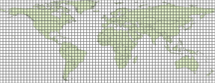
Get Data by Tile (click on tile to download)
Partners and Supporters: